Chevak Airport
Chevak Airport (IATA: VAK, ICAO: PAVA, FAA LID: VAK) is a publicly owned airport located one mile (1.6 km) north of the central business district of Chevak, a city in the Kusilvak Census Area of the U.S. state of Alaska. The airport is owned by the state.[1]
Chevak Airport | |||||||||||
|---|---|---|---|---|---|---|---|---|---|---|---|
 | |||||||||||
| Summary | |||||||||||
| Airport type | Public | ||||||||||
| Owner | State of Alaska DOT&PF - Central Region | ||||||||||
| Location | Chevak, Alaska | ||||||||||
| Elevation AMSL | 75 ft / 23 m | ||||||||||
| Coordinates | 61°32′27″N 165°36′03″W | ||||||||||
| Map | |||||||||||
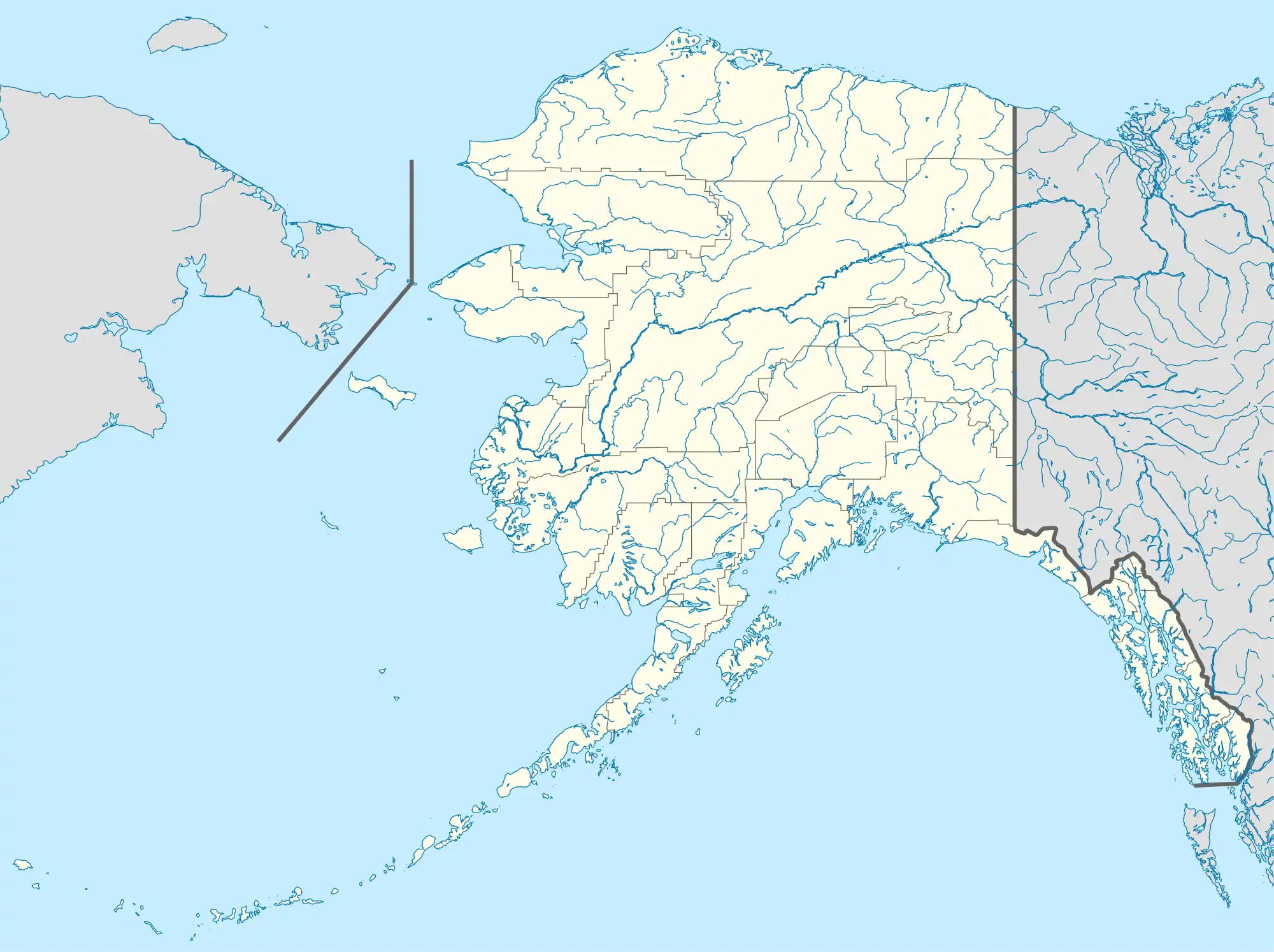 VAK Location of airport in Alaska | |||||||||||
| Runways | |||||||||||
| |||||||||||
| Statistics (2015) | |||||||||||
| |||||||||||
Facilities
Chevak Airport has one runway and one seaplane landing area:[1]
- Runway 14/32: 2,680 x 50 ft. (817 x 15 m), surface: gravel
- Runway 18W/36W: 2,000 x 400 ft. (610 x 122 m), surface: water
| Dimension: | 3200 x 75 ft / 975.4 x 22.9 m |
| Surface: | GRVL, Fair Condition
RY USED AS ROAD. FIRST 200 FT OF RY02 ROUGH. |
| Edge Lights: | Medium |
| Runway 02 | Runway 20 | |
|---|---|---|
| Longitude: | 165-36-21.2000W | 165-35-45.2212W |
| Latitude: | 61-32-13.8312N | 61-32-40.2536N |
| Elevation: | 35.00 ft | 47.00 ft |
| Alignment: | 33 | 127 |
| Traffic Pattern: | Left | Left |
| Crossing Height: | 25.00 ft | 25.00 ft |
| VASI: | 4-light PAPI on left side | 4-light PAPI on left side |
| Visual Glide Angle: | 3.00° | 3.00° |
| Runway End Identifier: | Yes | Yes |
Runway 18W/36W
| Dimension: | 2000 x 400 ft / 609.6 x 121.9 m |
| Surface: | WATER,
RY USED AS ROAD. FIRST 200 FT OF RY02 ROUGH. |
| Runway 18W | Runway 36W | |
|---|---|---|
| Traffic Pattern: | Left | Left |
Radio Navigation Aids
| ID | Type | Name | Ch | Freq | Var | Dist |
|---|---|---|---|---|---|---|
| CZF | NDB/DME | Cape Romanzof | 114Y | 275.00 | 13E | 18.3 nm |
| HPB | VOR/DME | Hooper Bay | 099X | 115.20 | 13E | 15.4 nm |
Airlines and destinations
| Airlines | Destinations |
|---|---|
| Grant Aviation | Bethel[2] |
| Ryan Air | Bethel, Hooper Bay, Scammon Bay[3] |
Prior to its bankruptcy and cessation of all operations, Ravn Alaska served the airport from multiple locations.
Statistics
| Carrier | Passengers (arriving and departing) |
|---|---|
| Hageland | 8,140(67.22%) |
| Grant | 3,970(32.78%) |
| Rank | City | Airport | Passengers | Carriers |
|---|---|---|---|---|
| 1 | Bethel Airport | 4,870 | Grant, Hageland | |
| 2 | Hooper Bay Airport | 780 | Grant | |
| 3 | Scammon Bay Airport | 190 | ||
| 4 | Newtok Airport | 70 | ||
| 5 | St. Mary's Airport | 50 | ||
| 6 | Chefornak Airport | 10 | ||
| Platinum Airport | 10 | |||
| Emmonak Airport | 10 | |||
| Unalakleet Airport | 10 | |||
| Eek Airport | 10 |
References
- FAA Airport Form 5010 for VAK PDF, January 5, 2017
- "Grant Aviation Schedule". (retrieved Sep 11, 2022)
- "Passenger Schedules". Ryan Air Services. Retrieved December 20, 2020.
- "Chevak, AK: Chevak (VAK)". Bureau of Transportation Statistics (BTS), Research and Innovative Technology Administration (RITA), U.S. Department of Transportation. December 2015. Retrieved January 15, 2017.
External links
- Alaska FAA airport diagram (GIF)
- Resources for this airport:
- Airport information for PAVA at AirNav
- Accident history for VAK at Aviation Safety Network
- Aeronautical chart and airport information for VAK at SkyVector
This article is issued from Wikipedia. The text is licensed under Creative Commons - Attribution - Sharealike. Additional terms may apply for the media files.