Bethel Airport
Bethel Airport (IATA: BET, ICAO: PABE, FAA LID: BET) is a state-owned public-use airport located three nautical miles (6 km) southwest of the central business district of Bethel, a city in the Bethel Census Area of the U.S. state of Alaska.[1]
Bethel Airport | |||||||||||||||||||
|---|---|---|---|---|---|---|---|---|---|---|---|---|---|---|---|---|---|---|---|
 | |||||||||||||||||||
| Summary | |||||||||||||||||||
| Airport type | Public | ||||||||||||||||||
| Owner | State of Alaska DOT&PF - Central Region | ||||||||||||||||||
| Serves | Bethel, Alaska | ||||||||||||||||||
| Hub for | Passenger | ||||||||||||||||||
| Elevation AMSL | 129 ft / 39 m | ||||||||||||||||||
| Coordinates | 60°46′43″N 161°50′14″W | ||||||||||||||||||
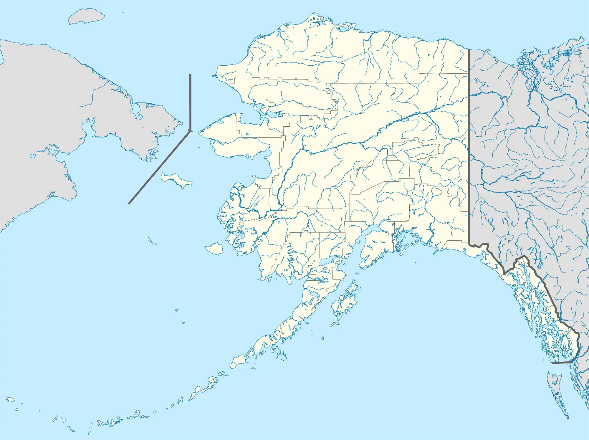
| Map | |||||||||||||||||||
 BET Location of airport in Alaska | |||||||||||||||||||
| Runways | |||||||||||||||||||
| |||||||||||||||||||
| Statistics (2018) | |||||||||||||||||||
| |||||||||||||||||||
As per Federal Aviation Administration records, the airport had 140,291 passenger boardings (enplanements) in calendar year 2008,[2] 134,848 enplanements in 2009, and 144,353 in 2010.[3] It is included in the National Plan of Integrated Airport Systems for 2011–2015, which categorized it as a primary commercial service airport (more than 10,000 enplanements per year).[4]
History
Construction began September 21, 1941, and the airfield was activated July 4, 1942; it was known as Bethel Air Base. It was used by Air Transport Command as auxiliary airfield for Lend-Lease aircraft being flown to Siberia. The facility was transferred to Eleventh Air Force, then to Alaskan Air Command in 1945; it became the joint-use Bethel Airport. It was used for construction of AC&W Bethel Air Force Station in the mid-1950s. Full jurisdiction was turned over to Alaska Government in 1958.[5]
Facilities and aircraft
Bethel Airport covers an area of 1,056 acres (427 ha) at an elevation of 129 feet (39 m) above mean sea level. It has three runways: 1L/19R is 6,400 by 150 feet (1,951 by 46 m) with an asphalt surface; 1R/19L is 4,000 by 75 feet (1,219 by 23 m) with an asphalt surface; 12/30 is 1,858 by 75 feet (566 by 23 m) with an asphalt/gravel surface.[1]
For the 12-month period ending March 31, 2018, the airport had 122,000 aircraft operations, an average of 334 per day: 54% air taxi, 41% general aviation, 4% scheduled commercial, and 1% military. At that time there were 112 aircraft based at this airport: 86% single-engine, 6% multi-engine, 6% helicopter, and 2% military.[1]
Airlines and destinations
The following airlines offer scheduled passenger service:
| Airlines | Destinations |
|---|---|
| Alaska Airlines | Anchorage |
| Grant Aviation | Alakanuk, Atmautluak, Chefornak, Chevak, Dillingham, Eek, Emmonak, Hooper Bay, Kasigluk, Kipnuk, Kongiganak, Kotlik, Kwigillingok, Marshall, Mekoryuk, Mountain Village, Newtok, Nightmute, Nunam Iqua, Nunapitchuk, Pilot Station, Quinhagak, Scammon Bay, St. Mary's, Toksook Bay, Tuntutuliak, Tununak[6] |
| Ryan Air | Aniak, Atmautluak, Chevak, Hooper Bay, Marshall, Mekoryuk, Scammon Bay, St. Mary's, Toksook Bay, Tununak[7] |
| Yute Commuter Service | Akiachak, Akiak, Atmautluak, Chefornak, Eek, Goodnews Bay, Kasigluk, Kipnuk, Kongiganak, Kwethluk, Kwigillingok, Marshall, Mountain Village, Napakiak, Napaskiak, Newtok, Nightmute, Nunapitchuk, Pilot Station, Platinum, Quinhagak, Russian Mission, St. Mary's, Toksook Bay, Tuluksak, Tuntutuliak, Tununak[8] |
Prior to its bankruptcy and cessation of all operations, Ravn Alaska served the airport from multiple locations.
Statistics
Statistics
| Rank | Airline | Passengers | Percent of market share |
|---|---|---|---|
| 1 | Alaska Airlines | 144,000 | 52.95% |
| 2 | Grant Aviation | 91,150 | 33.65% |
| 3 | Yute Commuter Service | 34,680 | 12.75% |
| 4 | Ryan Air | 1,740 | 0.64% |
| 5 | Northern Airlines | 20 | 0.01% |
| Rank | City | Airport | Passengers | Carriers |
|---|---|---|---|---|
| 1 | Anchorage, AK | Ted Stevens Anchorage International Airport | 72,000 | Alaska |
| 2 | Emmonak, AK | Emmonak Airport | 4,720 | Grant |
| 3 | Quinhagak, AK | Quinhagak Airport | 4,120 | Grant, Yute |
| 4 | Chevak, AK | Chevak Airport | 4,100 | Grant, Ryan |
| 5 | Kipnuk, AK | Kipnuk Airport | 3,660 | Grant, Yute |
| 6 | Hooper Bay, AK | Hooper Bay Airport | 3,510 | Grant, Ryan |
| 7 | Toksook Bay, AK | Toksook Bay Airport | 2,830 | Grant, Ryan, Yute |
| 8 | Scammon Bay, AK | Scammon Bay Airport | 2,680 | Grant, Ryan |
| 9 | Chefornak, AK | Chefornak Airport | 2,520 | Grant, Yute |
| 10 | Kasigluk, AK | Kasigluk Airport | 2,290 | Grant, Yute |
Cargo airlines
| Airline | Destination |
|---|---|
| Alaska Central Express | Anchorage |
| Everts Air Cargo | Anchorage |
| Lynden Air Cargo | Anchorage |
| Northern Air Cargo | Anchorage |
References
- FAA Airport Form 5010 for BET PDF. Federal Aviation Administration. effective January 5, 2017.
- "Enplanements for CY 2008" (PDF, 1.0 MB). CY 2008 Passenger Boarding and All-Cargo Data. Federal Aviation Administration. December 18, 2009.
- "Enplanements for CY 2010" (PDF, 189 KB). CY 2010 Passenger Boarding and All-Cargo Data. Federal Aviation Administration. October 4, 2011.
- "2011–2015 NPIAS Report, Appendix A" (PDF). National Plan of Integrated Airport Systems. Federal Aviation Administration. October 4, 2010. Archived from the original (PDF, 2.03 MB) on 2012-09-27.
-
 This article incorporates public domain material from the Air Force Historical Research Agency.
 - "Destinations". (retrieved Sep 10, 2022)
- "Passenger Schedules". Ryan Air Services. Retrieved December 20, 2020.
- "Yute Bethel Schedule". Archived from the original on September 12, 2022. Retrieved Sep 12, 2022.
- "Bethel, AK: Bethel (BET)". Bureau of Transportation Statistics (BTS), Research and Innovative Technology Administration (RITA), U.S. Department of Transportation. August 2022. Retrieved Dec 2, 2022.
External links
- Topographic map Archived 2015-04-02 at the Wayback Machine from USGS The National Map
- FAA Airport Diagram (PDF), effective October 5, 2023
- FAA Terminal Procedures for BET, effective October 5, 2023