Trident Basin Seaplane Base
Trident Basin Seaplane Base (FAA LID: T44) is a city-owned, public-use seaplane base located in the City of Kodiak, in the Kodiak Island Borough of the U.S. state of United States.[1] This seaplane base is located 4 nautical miles (7 km) northeast of the Kodiak Airport.[3]
Trident Basin Seaplane Base | |||||||||||
|---|---|---|---|---|---|---|---|---|---|---|---|
| Summary | |||||||||||
| Airport type | Public | ||||||||||
| Owner | City of Kodiak Public Works | ||||||||||
| Serves | Kodiak, Alaska | ||||||||||
| Elevation AMSL | 0 ft / 0 m | ||||||||||
| Coordinates | 57°46′51″N 152°23′29″W | ||||||||||
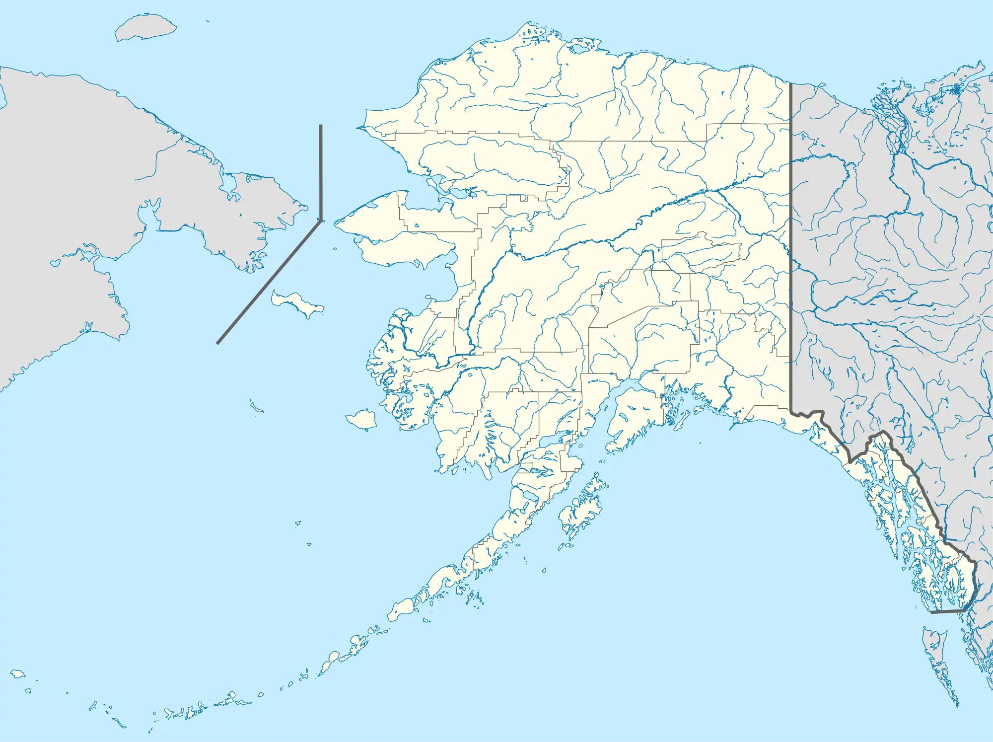
| Map | |||||||||||
 T44 Location of airport in Alaska | |||||||||||
| Runways | |||||||||||
| |||||||||||
| Statistics (2006) | |||||||||||
| |||||||||||
As per Federal Aviation Administration records, Trident Basin SPB had 11,218 passenger boardings (enplanements) in calendar year 2008, an increase of 338% from the 2,561 enplanements in 2007.[2] Trident Basin SPB is included in the FAA's National Plan of Integrated Airport Systems (2009–2013), which categorizes it as a general aviation facility.[4]
Facilities and aircraft
Trident Basin Seaplane Base has one seaplane landing area designated 2/20 which measures 4,400 by 200 feet (1,341 x 61 m). For the 12-month period ending December 31, 2006, it had 5,000 air taxi aircraft operations, an average of 13 per day. There are 11 single-engine aircraft based here.[1]
Remarks:[1]
- Reef exposed on low tides at both ends of runway. Some boat traffic; floating debris; docks; ramps; anchorage sheltered; bridge from near island to city area.
- Fuel available with credit card.
- During hours that Kodiak ATCT operational pilots arriving/departing Trident Basin shall contact ATCT for traffic advisories and/or special VFR clearance as necessary; when ATCT closed pilots will self-announce over CTAF.
- Kodiak weather camera available on internet at https://web.archive.org/web/20090831040305/http://akweathercams.faa.gov/
References
- FAA Airport Form 5010 for T44 PDF. Federal Aviation Administration. Effective 27 Aug 2009.
- CY 2008 Passenger Boarding and All-Cargo Data (Preliminary). Federal Aviation Administration. Published 15 July 2009.
- Heading and distance from ADQ (57°45'00"N 152°29'38"W) to T44 (57°46'51"N 152°23'29"W) as per Great Circle Mapper
- FAA National Plan of Integrated Airport Systems: 2009-2013. Federal Aviation Administration. Published 1 Oct 2008.
External links
- Resources for this airport:
- FAA airport information for T44
- AirNav airport information for T44
- FlightAware airport information and live flight tracker
- SkyVector aeronautical chart for T44