Ugashik Bay Airport
Ugashik Bay Airport (IATA: UGB, FAA LID: UGB) is a public use airport located 11 nautical miles (13 mi, 20 km) south-southwest of the central business district of Pilot Point,[1] near Ugashik Bay in the Lake and Peninsula Borough of the U.S. state of Alaska. It is owned by the Bureau of Land Management.[1]
Ugashik Bay Airport | |||||||||||
|---|---|---|---|---|---|---|---|---|---|---|---|
| Summary | |||||||||||
| Airport type | Public | ||||||||||
| Owner | BLM--Division of Lands | ||||||||||
| Serves | Pilot Point, Alaska | ||||||||||
| Elevation AMSL | 132 ft / 40 m | ||||||||||
| Coordinates | 57°25′31″N 157°44′24″W | ||||||||||
| Map | |||||||||||
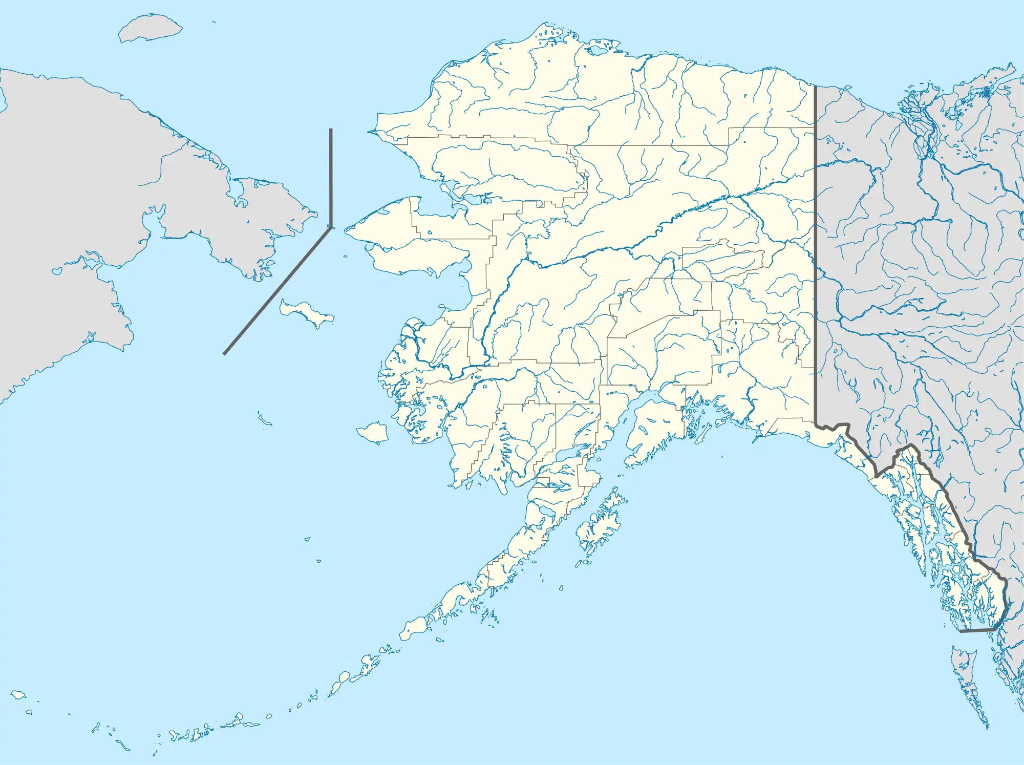
 UGB Location of airport in Alaska | |||||||||||
| Runways | |||||||||||
| |||||||||||
| Statistics (2005) | |||||||||||
| |||||||||||
Facilities and aircraft
Ugashik Bay Airport has one runway designated 12/30 with a gravel surface measuring 5,280 by 125 feet (1,609 x 38 m). For the 12-month period ending December 31, 2005, the airport had 50 aircraft operations, an average of 4 per month, all general aviation.[1]
Airline and destination
The following airline offers scheduled passenger service:
| Airlines | Destinations |
|---|---|
| Grant Aviation | Chignik Lake, Egegik, King Salmon, Pilot Point[2] |
See also
- Ugashik Airport (FAA: 9A8, IATA: UGS) - 57°31′24″N 157°23′46″W
- Pilot Point Airport (FAA: PNP, IATA: PIP, ICAO: PAPN) - 57°34′49″N 157°34′19″W
References
- FAA Airport Form 5010 for UGB PDF. Federal Aviation Administration. effective April 5, 2012.
- "Grant Schedule". (retrieved Sep 11, 2022)
External links
- Topographic map from USGS The National Map
- Resources for this airport:
- FAA airport information for UGB
- AirNav airport information for UGB
- ASN accident history for UGB
- FlightAware airport information and live flight tracker
- SkyVector aeronautical chart for UGB
This article is issued from Wikipedia. The text is licensed under Creative Commons - Attribution - Sharealike. Additional terms may apply for the media files.