Hardscrabble Mountain
Hardscrabble Mountain is a summit located in Custer County, Colorado with an elevation of 3,171 metres (10,404 ft).[1][2] It is one of the peaks in Wet Mountains, a sub-range of the Sangre de Cristo Range of the Rocky Mountains.[3] A local legend is that the mountain was named after an event from Christmas Day 1855. Ute Native Americans attacked settlers in Pueblo, after which soldiers pursued the Utes. They ran up the creek and had a “hard scrabble” to avoid being captured.[4]
| Hardscrabble Mountain | |
|---|---|
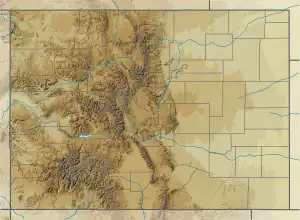
 Hardscrabble Mountain Custer County, Colorado, United States | |
| Highest point | |
| Elevation | 3,171 m (10,404 ft) |
| Coordinates | 38°11′52″N 105°11′42″W |
| Geography | |
| Location | Custer County, Colorado, United States |
| Parent range | Sangre de Cristo Range |
Four streams are found in the Hardscrabble Mountain and Wetmore area:
- North Hardscrabble Creek
- Middle Hardscrabble Creek
- South Fork North Hardscrabble Creek
- South Hardscrabble Creek start at Hardscrabble Mountain.[5]
Other nearby geological sites are:
- South Hardscrabble Park, a flat south of Hardscrabble Mountain
- Hardscrabble Pass, west-southwest of the mountain[5]

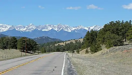
Looking west (towards the Sangre de Cristo Mountains) from Hardscrabble Pass
References
- "Hardscrabble Mountain (Feature ID 192202)". Geographic Names Information System. Retrieved 2021-11-02.
- "Hardscrabble Mountain". peakbagger.com. Retrieved 2021-11-02.
- "Hardscrabble Mountain". PeakVisor. Retrieved 2021-11-02.
- Green, Stewart M. (2013-06-04). Scenic Routes & BywaysTM Colorado. Rowman & Littlefield. p. 74. ISBN 978-0-7627-9588-8.
- "Hardscrabble Pass". passbagger.org. Retrieved 2021-11-02.
External links
- Hardscrabble Mountain, Topographical map
This article is issued from Wikipedia. The text is licensed under Creative Commons - Attribution - Sharealike. Additional terms may apply for the media files.