Rampart Range
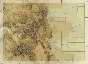
The Rampart Range is a mountain range in the western United States in Colorado, located in Douglas, El Paso, and Teller counties.[1] Part of the Front Range of the Rocky Mountains, the range is almost entirely public land within the Pike National Forest.
| Rampart Range | |
|---|---|
Rampart Range seen from Windy Point atop Spruce Mountain | |
| Highest point | |
| Peak | Pikes Peak |
| Elevation | 14,110 ft (4,300 m) |
| Listing | Mountain ranges of Colorado |
| Coordinates | 38°50′24″N 105°2′34″W |
| Geography | |
 Rampart Range | |
| Country | United States |
| State | Colorado |
| Counties | Douglas, El Paso and Teller |
| Parent range | Front Range, Rocky Mountains |
Pikes Peak is the highest peak in the range at 14,110 feet (4,300 m) above sea level.[2]
References
- US Geological Survey, Rampart Range, accessed November 14, 2009.
- Peakbagger.com, Rampart Range, accessed September 12, 2023.
This article is issued from Wikipedia. The text is licensed under Creative Commons - Attribution - Sharealike. Additional terms may apply for the media files.