Livingstone Range (Canada)
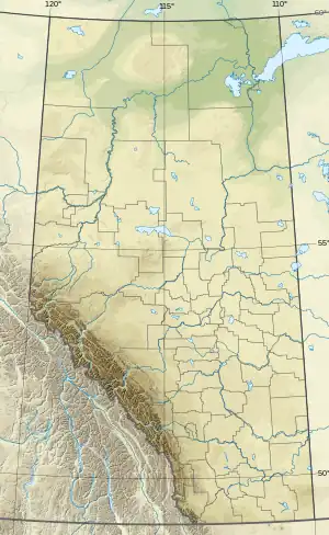
The Livingstone Range is a sub-range of the Canadian Rockies in Alberta, Canada. It forms the eastern boundary of the Rockies in the south of the province. Its northern boundary is the Highwood River and it extends to Crowsnest Pass in the south. The Livingstone and Oldman Rivers bound it to the west.
| Livingstone Range | |
|---|---|
 NW face of Thunder Mountain | |
| Highest point | |
| Peak | Centre Peak |
| Elevation | 2,549 m (8,363 ft)[1][2] |
| Listing | Mountains of Alberta |
| Coordinates | 49°56′35″N 114°20′07″W[3] |
| Geography | |
 Livingstone Range | |
| Country | Canada |
| Provinces | Alberta |
| Parent range | Canadian Rockies (Southern Continental Ranges) |
| Topo map | NTS 82G9 Blairmore[3] |
History
The range was named after the explorer David Livingstone by Thomas Blakiston, an assistant of John Palliser, in 1858. When explorer Peter Fidler climbed Thunder Mountain in 1792, he became the first European to make a recorded ascent in the Canadian Rockies.[4]
Mountains
The mountains and peaks of the Livingstone Range are identified below.[4]
| Mountain/Peak | Elevation | Coordinates | |
|---|---|---|---|
| m | ft | ||
| Centre Peak | 2,549 | 8,363 | |
| Mount Burke | 2,542 | 8,340 | 50°17'24"N, 114°31'30"W |
| Plateau Mountain | 2,438 | 7,999 | |
| Coffin Mountain | 2,429 | 7,969 | 44°37'17.40"N, 122°2'39.48"W |
| Mount Livingstone | 2,422 | 7,946 | |
| Cauldron Peak | 2,393 | 7,851 | |
| Hailstone Butte | 2,373 | 7,785 | |
| Sentinel Peak | 2,373 | 7,785 | 50°15'20.2"N, 114°28'51.6"W |
| Thunder Mountain | 2,335 | 7,661 | |
| Mount Hornecker | 2,271 | 7,451 | |
| Sheep Mountain | 2,271 | 7,451 | |
| Saddle Mountain | 2,240 | 7,350 | |
| Windy Peak | 2,240 | 7,350 | |
References
- "Centre Peak". cdnrockiesdatabases.ca. Retrieved 2023-08-14.
- "Topographic map of Centre Peak". opentopomap.org. Retrieved 2023-08-14.
- "Livingstone Range". Geographical Names Data Base. Natural Resources Canada. Retrieved 2023-08-14.
- "Livingstone Range". cdnrockiesdatabases.ca. Retrieved 2011-07-05.
External links
- "current weather". meteoblue.com.
- satellite image
This article is issued from Wikipedia. The text is licensed under Creative Commons - Attribution - Sharealike. Additional terms may apply for the media files.