Pyramid Mountain (Alberta)
Pyramid Mountain is a mountain in Jasper National Park, Alberta, Canada, named for its pyramid-like shape. James Hector named the mountain in 1859 due to its appearance from the Athabasca River valley on the eastern side of the peak.[1]
| Pyramid Mountain | |
|---|---|
 Pyramid from Maligne Lookout | |
| Highest point | |
| Elevation | 2,766 m (9,075 ft)[1] |
| Prominence | 761 m (2,497 ft)[2] |
| Listing | Mountains of Alberta |
| Coordinates | 52°57′04″N 118°08′57″W[3] |
| Geography | |
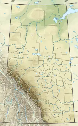
 Pyramid Mountain Location in Alberta | |
| Location | Alberta, Canada |
| Parent range | Victoria Cross Ranges |
| Topo map | NTS 83D16 Jasper[3] |
| Climbing | |
| First ascent | George Kinney, guided by Conrad Kain[1] |
| Easiest route | Scramble[4] |
Part of the Victoria Cross Ranges in the Athabasca River Valley the mountain is in the major headwaters for the Athabasca River. The peak is just under 10 km (6 mi) north-west of the town of Jasper.
The mountain is a relatively easy scramble on the eastern slopes. These slopes can be reached by following a steep fire road from the parking lot at Pyramid Lake, 11.5 km (7 mi) southeast of the peak.[4]
Based on the Köppen climate classification, Pyramid Mountain is located in a subarctic climate zone with cold, snowy winters, and mild summers.[5] Temperatures can drop below -20 °C with wind chill factors below -30 °C.
References
- "Pyramid Mountain". cdnrockiesdatabases.ca. Retrieved 2019-09-06.
- "Pyramid Mountain". Bivouac.com. Retrieved 2009-01-02.
- "Pyramid Mountain". Geographical Names Data Base. Natural Resources Canada. Retrieved 2019-09-06.
- Kane, Alan (1999). "Pyramid Mountain". Scrambles in the Canadian Rockies. Calgary: Rocky Mountain Books. pp. 318–319. ISBN 0-921102-67-4.
- Peel, M. C.; Finlayson, B. L.; McMahon, T. A. (2007). "Updated world map of the Köppen−Geiger climate classification". Hydrol. Earth Syst. Sci. 11: 1633–1644. ISSN 1027-5606.
