McGillivray Ridge
McGillivray Ridge is located on the border of Alberta and British Columbia. Sometime before 1814, this massive mountain was called McGillvray's Rock after William McGillivray of the NWC.[2]: 168
| McGillivray Ridge | |
|---|---|
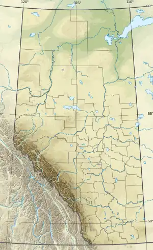
 McGillivray Ridge Location in Alberta and British Columbia | |
| Highest point | |
| Elevation | 2,697 m (8,848 ft)[1] |
| Coordinates | 52°23′30″N 118°10′30″W |
| Geography | |
| Location | Alberta British Columbia |
| Topo map | NTS 83D8 Athabasca Pass |
| Climbing | |
| First ascent | 1893 by L.Q. Coleman, L. B. Stewart |

William McGillivray (1764-1825), of the North West Company, Montreal. Attributed to Sir Martin Shee, oil, 1820 (courtesy Library and Archives Canada/C-167).
See also
References
- "McGillivray Ridge". cdnrockiesdatabases.ca.
- Akrigg, G.P.V.; Akrigg, Helen B. (1986), British Columbia Place Names (3rd, 1997 ed.), Vancouver: UBC Press, ISBN 0-7748-0636-2
This article is issued from Wikipedia. The text is licensed under Creative Commons - Attribution - Sharealike. Additional terms may apply for the media files.