Mount Mahood
Mount Mahood was named in 1871 for James Adams Mahood, a CPR engineer and land surveyor. It is located in the Victoria Cross Ranges in Alberta.[1][3]
| Mount Mahood | |
|---|---|
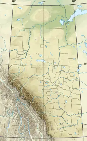 Mount Mahood Location in Alberta | |
| Highest point | |
| Elevation | 2,896 m (9,501 ft)[1][2] |
| Prominence | 606 m (1,988 ft)[3] |
| Parent peak | Mount Bridgland (2930 m)[3] |
| Listing | Mountains of Alberta |
| Coordinates | 53°01′44″N 118°35′35″W[4] |
| Geography | |
| Country | Canada |
| Province | Alberta |
| Parent range | Victoria Cross Ranges |
| Topo map | NTS 83E2 Resplendent Creek[4] |
References
- "Mount Mahood". cdnrockiesdatabases.ca. Retrieved 2023-08-04.
- "Topographic map of Mount Mahood". opentopomap.org. Retrieved 2023-08-04.
- "Mount Mahood". Bivouac.com. Retrieved 2023-08-04.
- "Mount Mahood". Geographical Names Data Base. Natural Resources Canada. Retrieved 2023-08-04.
This article is issued from Wikipedia. The text is licensed under Creative Commons - Attribution - Sharealike. Additional terms may apply for the media files.