Saint-Laurent-de-Céris
Saint-Laurent-de-Céris (French pronunciation: [sɛ̃ loʁɑ̃ də seʁi]) is a commune in the Charente department in southwestern France.
Saint-Laurent-de-Céris | |
|---|---|
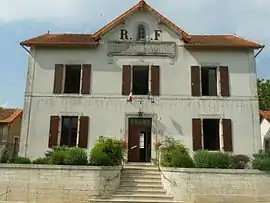 Town hall | |
.svg.png.webp) Coat of arms | |
Location of Saint-Laurent-de-Céris | |
 Saint-Laurent-de-Céris  Saint-Laurent-de-Céris | |
| Coordinates: 45°56′32″N 0°28′54″E | |
| Country | France |
| Region | Nouvelle-Aquitaine |
| Department | Charente |
| Arrondissement | Confolens |
| Canton | Charente-Bonnieure |
| Intercommunality | Charente Limousine |
| Government | |
| • Mayor (2020–2026) | Manuel Desvergne[1] |
| Area 1 | 29.89 km2 (11.54 sq mi) |
| Population | 763 |
| • Density | 26/km2 (66/sq mi) |
| Time zone | UTC+01:00 (CET) |
| • Summer (DST) | UTC+02:00 (CEST) |
| INSEE/Postal code | 16329 /16450 |
| Elevation | 127–209 m (417–686 ft) (avg. 190 m or 620 ft) |
| 1 French Land Register data, which excludes lakes, ponds, glaciers > 1 km2 (0.386 sq mi or 247 acres) and river estuaries. | |
Population
|
|
See also
References
- "Répertoire national des élus: les maires" (in French). data.gouv.fr, Plateforme ouverte des données publiques françaises. 13 September 2022.
- "Populations légales 2020". The National Institute of Statistics and Economic Studies. 29 December 2022.
Wikimedia Commons has media related to Saint-Laurent-de-Céris.
This article is issued from Wikipedia. The text is licensed under Creative Commons - Attribution - Sharealike. Additional terms may apply for the media files.