X
wikiHow is a “wiki,” similar to Wikipedia, which means that many of our articles are co-written by multiple authors. To create this article, 18 people, some anonymous, worked to edit and improve it over time.
This article has been viewed 45,258 times.
Learn more...
The Montreal Metro is the fastest way to get around town, provided it goes where you want to go. These instructions might look a little involved, but it's really all common sense. This is just if you really have no clue.
Steps
-
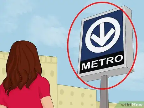
1Find your closest metro station, marked by a characteristic blue sign with a white arrow in a circle pointed downward. Most of the stations downtown are connected via the underground tunnels, so look for a sign on the side of office buildings or entrances to malls. The lines themselves run under de Maisonneuve (green line) and Viger/Saint-Jacques (orange line), with the green line continuing east and west, and the orange line curving north on either side of downtown.[1]
-
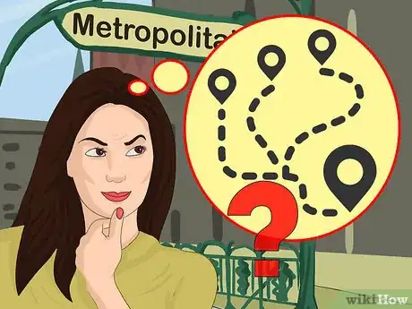
2Know roughly where you're going and what metro station you want to go to. If you don't know the exact station, there are maps of Montreal in every station, at many bus stops, and on the streets around town. The metro map is in every car, and you can get a pocket-sized one from the booth operator.[2]Advertisement
-
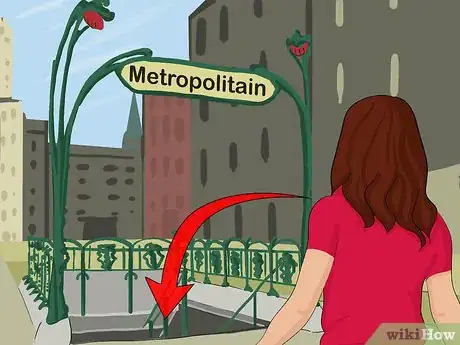
3Enter the station. Unlike in New York, every entrance is good to board for either direction of travel -- in fact, every station except Longueuil is designed to allow you to change directions (if you go too far, for example) without having to leave the turnstiles.
-
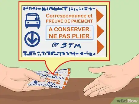
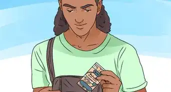
4Buy a ticket either from a vending machine or from the booth by the turnstiles. The Laurier street entrance to the Laurier metro is not manned, but does have a ticket machine. Keep the ticket with you -- it's your proof of purchase and your transfer to the bus system.[3]
-
5Know where you're going. The "direction" of the trains is listed by the last station on the line, so look at the map, find your present station and your destination station, and then note the end-station that you have to travel toward. So if you're at Berri-UQAM and you wanted to go to Pie-IX, you would take the green line, direction Honoré-Beaugrand.
-
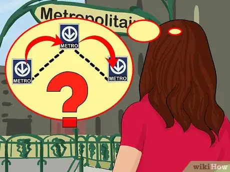
6Consider that you may have to transfer. Note what station you will have to transfer at, and which direction you'll have to go when you're there (again, if you forget, there are maps in the trains.)
-
7Find the sign with the right colour and the right direction. Walk downstairs, wait for the train, and get on! During rush-hour, some trains on the Orange line stop at Henri-Bourassa instead of continuing to Montmorency, but other than that, there are no express trains that skip certain stops, nor trains with different destinations using the same track. The name of the next station is announced in French as the train leaves, and again when it arrives.
Advertisement
Community Q&A
-
QuestionWhat is the closest metro station to Auberge du Lac Morency?
 Joshua BurkeCommunity AnswerIt's pretty far, but it appears to be De la Concorde Station. You will most likely need to drive.
 -
QuestionCan people share an Opus card?
 Leo BoivinCommunity AnswerNo. The opus card cannot be used to enter two times in a row a station. Theoretically, you could lend your card to somebody, but it's not legal.
Advertisement
Warnings
- DO NOT assume that because you are going to a certain street, that you should go to that street's corresponding Metro station. Many streets are VERY long. Check the detailed city maps in the metro station, or Google maps, to determine what the closest metro station actually is.⧼thumbs_response⧽
- The Metro does not serve Mile End well. The best way to get to Mile End is to go to Place-Des-Arts Metro station and ride the 80 North, but if you're up north it's best to ride the 80 south from Parc.⧼thumbs_response⧽
Advertisement
References
About This Article
Advertisement





-Step-12.webp)
