Feni Sadar Upazila
Feni Sadar (Bengali: ফেনী সদর) is an upazila of Feni District in the Division of Chittagong, Bangladesh.[1] The district headquarters and all other administrative offices are located here.
Feni Sadar
ফেনী সদর | |
|---|---|
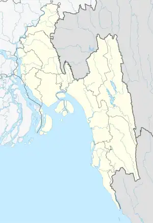
 Feni Sadar Location in Bangladesh | |
| Coordinates: 23°1′N 91°23.5′E | |
| Country | Bangladesh |
| Division | Chittagong Division |
| District | Feni District |
| Area | |
| • Total | 226.19 km2 (87.33 sq mi) |
| Population (2011) | |
| • Total | 512,646 |
| • Density | 2,300/km2 (5,900/sq mi) |
| Time zone | UTC+6 (BST) |
| Website | sadar |
Geography
Feni Sadar is located at 23.0167°N 91.3917°E. It has 57,331 households and a total area of 226.19 km2.
Demographics
As of the 2011 Bangladesh census, Feni Sadar has a population of 512,646 living in 97,869 households. 113,461 (22.13%) were under 10 years of age. Feni Sadar has an average literacy rate of 62.84% (7+ years) and a sex ratio of 1012 females per 1000 males. 156,971 (30.62%) of the population lives in urban areas.[2]
Administration
Feni Sadar Upazila is divided into Feni Municipality and 12 union parishads: Baligaon, Chonua, Dholia, Dhormapur, Fazilpur, Forhadnogor, Kalidah, Kazirbag, Lemua, Motobi, Panchgachia, and Sarishadi. The union parishads are subdivided into 134 mauzas and 125 villages.[3]
Feni Municipality is subdivided into 18 wards and 35 mahallas.[3]
Notable people
- Khawaja Ahmed, member of the 1st Bangladeshi Parliament
References
- Bhuiyan, Md Abu Taher (2012). "Feni Sadar Upazila". In Islam, Sirajul; Jamal, Ahmed A. (eds.). Banglapedia: National Encyclopedia of Bangladesh (Second ed.). Asiatic Society of Bangladesh.
- "Bangladesh Population and Housing Census 2011 Zila Report – Feni" (PDF). bbs.gov.bd. Bangladesh Bureau of Statistics.
- "District Statistics 2011: Feni" (PDF). Bangladesh Bureau of Statistics. Archived from the original (PDF) on 13 November 2014. Retrieved 14 July 2014.
