Parshuram Upazila
Parshuram (Bengali: পরশুরাম) is an upazila of Feni District[1] in the Division of Chittagong, in southeast Bangladesh.
Parshuram
পরশুরাম | |
|---|---|
 Skyline of Parshuram, Bangladesh | |
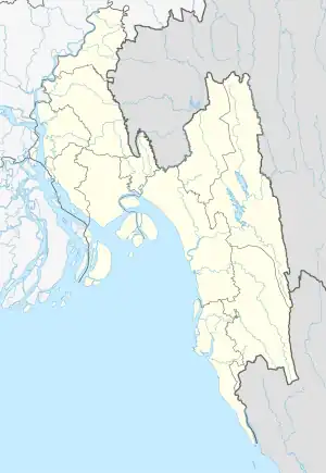
 Parshuram Location in Bangladesh | |
| Coordinates: 23°13′N 91°26.5′E | |
| Country | |
| Division | Chittagong Division |
| District | Feni District |
| Government | |
| • Jatyo songsod | Shirin Akhter |
| • Upazila Chairman | Kamal Uddin Mazumdar |
| Area | |
| • Total | 95.76 km2 (36.97 sq mi) |
| Population (1991) | |
| • Total | 176,731 |
| • Density | 1,800/km2 (4,800/sq mi) |
| Time zone | UTC+6 (BST) |
| Website | Official Map of Parshuram |
Demographics
As of the 2011 Bangladesh census, Parshuram has a population of 101,062 living in 20,353 households. 24,600 (24.34%) were under 10 years of age. Parshuram has an average literacy rate of 58.75% (7+ years) and a sex ratio of 1107 females per 1000 males. 29,691 (29.37%) of the population lives in urban areas.[2]
Administration
Parshuram Upazila is divided into Parshuram Municipality and three union parishads: Boxmahmmud, Chitholia, and Mirzanagar. The union parishads are subdivided into 157 mauzas and 71 villages.[3]
Parshuram Municipality is subdivided into 9 wards and 15 mahallas.[3]
References
- Mohammad Yakub (2012). "Parshuram Upazila". In Sirajul Islam; Miah, Sajahan; Khanam, Mahfuza; Ahmed, Sabbir (eds.). Banglapedia: the National Encyclopedia of Bangladesh (Online ed.). Dhaka, Bangladesh: Banglapedia Trust, Asiatic Society of Bangladesh. ISBN 984-32-0576-6. OCLC 52727562. OL 30677644M. Retrieved 27 October 2023.
- "Bangladesh Population and Housing Census 2011 Zila Report – Feni" (PDF). bbs.gov.bd. Bangladesh Bureau of Statistics.
- "District Statistics 2011: Feni" (PDF). Bangladesh Bureau of Statistics. Archived from the original (PDF) on 13 November 2014. Retrieved 14 July 2014.
External links
This article is issued from Wikipedia. The text is licensed under Creative Commons - Attribution - Sharealike. Additional terms may apply for the media files.
