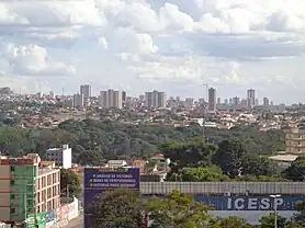
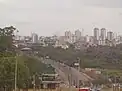
Samambaia, Federal District
Samambaia is an administrative region in the Federal District in Brazil. It is bordered by Ceilândia and Sol Nascente/Pôr do Sol to the north, Taguatinga to the east, and Riacho Fundo II and Recanto das Emas to the south.
Samambaia | |
|---|---|
| Região Administrativa de Samambaia Administrative Region of Samambaia | |
 Flag | |
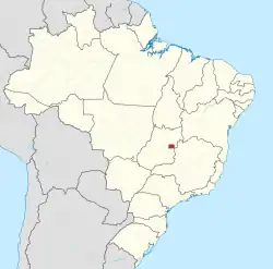
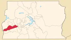 Location of Samambaia in the Federal District | |
| Coordinates: 15°52′34″S 48°05′19″W | |
| Country | |
| Region | Central-West |
| State | |
| Established | 25 October 1989 |
| Government | |
| • Regional administrator | Marcos Leite de Araújo |
| Area | |
| • Total | 102.6 km2 (39.6 sq mi) |
| Population | |
| • Total | 193,485 |
| • Density | 1,900/km2 (4,900/sq mi) |
| Time zone | UTC-3 (UTC-3) |
| • Summer (DST) | UTC-2 (UTC-2) |
| Area code | +55 61 |
| Website | www |
.jpg.webp)
.jpg.webp)
References
External links
Wikimedia Commons has media related to Samambaia, Federal District.
This article is issued from Wikipedia. The text is licensed under Creative Commons - Attribution - Sharealike. Additional terms may apply for the media files.