Le Mêle-sur-Sarthe
Le Mêle-sur-Sarthe (French pronunciation: [lə mɛl syʁ saʁt] ⓘ, literally Le Mêle on Sarthe) is a commune in the Orne department in north-western France. It is the commune with the smallest area in the Orne, covering an area of 0.62 km ².[3]
Le Mêle-sur-Sarthe | |
|---|---|
 A general view of Le Mêle-sur-Sarthe from the Bois-Roger lake | |
 Coat of arms | |
Location of Le Mêle-sur-Sarthe | |
 Le Mêle-sur-Sarthe  Le Mêle-sur-Sarthe | |
| Coordinates: 48°30′43″N 0°21′20″E | |
| Country | France |
| Region | Normandy |
| Department | Orne |
| Arrondissement | Alençon |
| Canton | Écouves |
| Intercommunality | Vallée de la Haute Sarthe |
| Government | |
| • Mayor (2020–2026) | Jean-Dimitri Photopoulos[1] |
| Area 1 | 0.62 km2 (0.24 sq mi) |
| Population | 659 |
| • Density | 1,100/km2 (2,800/sq mi) |
| Time zone | UTC+01:00 (CET) |
| • Summer (DST) | UTC+02:00 (CEST) |
| INSEE/Postal code | 61258 /61170 |
| Elevation | 143–157 m (469–515 ft) (avg. 155 m or 509 ft) |
| 1 French Land Register data, which excludes lakes, ponds, glaciers > 1 km2 (0.386 sq mi or 247 acres) and river estuaries. | |
Twin towns – sister cities
Le Mêle-sur-Sarthe is twinned with:
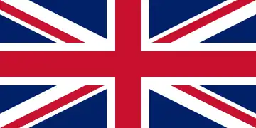 Faringdon, United Kingdom (since 1990)[4]
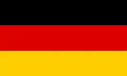 Königstein im Taunus, Germany
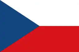 Libčany, Czech Republic
References
- "Répertoire national des élus: les maires" (in French). data.gouv.fr, Plateforme ouverte des données publiques françaises. 13 September 2022.
- "Populations légales 2020". The National Institute of Statistics and Economic Studies. 29 December 2022.
- "ORNE : map, cities and data of the departement of Orne 61". www.map-france.com.
- "British towns twinned with French towns [via WaybackMachine.com]". Archant Community Media Ltd. Archived from the original on 5 July 2013. Retrieved 20 July 2013.
Wikimedia Commons has media related to Le Mêle-sur-Sarthe.
This article is issued from Wikipedia. The text is licensed under Creative Commons - Attribution - Sharealike. Additional terms may apply for the media files.